One evening, I took notice of a wooded area on the other side of Lee Fields and was curious about visiting it. Here’s the highlighted map of the woods from Google Maps.
It was only years later that I decided to explore it. I had taken a day off work and figured that I’d finally check it out. I strolled in through the entrance of the Bon Secours Care Village and proceeded to enter the forest close to the car park. I was somewhat concerned that I would be stopped by security as it is technically on private property.
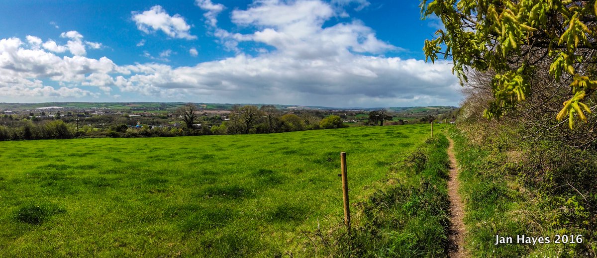
Entrance from the Mt Desert cul de sac. This was the old entrance from Blarney Road side. The view is great on a clear day.
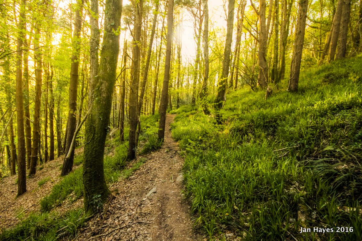
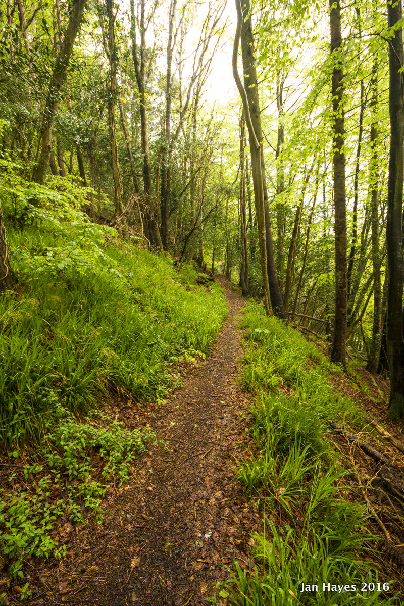
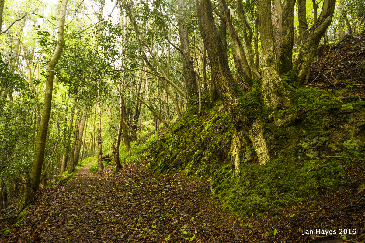
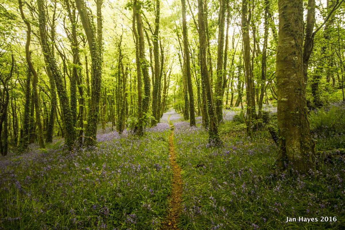
Within the woods, I followed the old route that was drawn out in 1850 ordinance survey map, large parts of it was still in reasonably good condition and some well worn paths diverged from the original one probably due to some overgrowth. The western half of the woods had more coniferous trees than deciduous ones, looked particularly great in the evening!
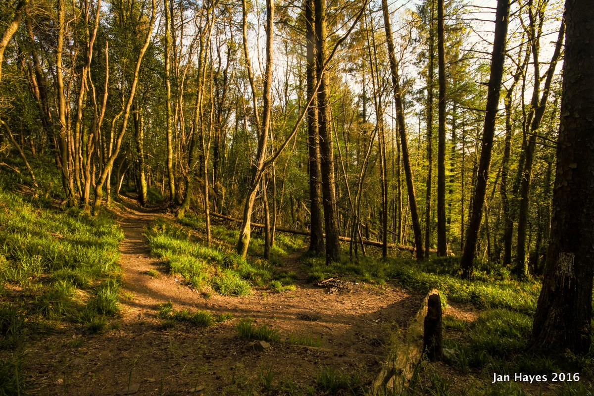
Western edge of the wood, seemingly popular campfire spot for tracksuit-clad folks with poor taste in alcohol ( judging by the discarded cans littered around this area )
On the first day of coming to this area I had met two dog walkers on separate occasions, who informed me that it was an area frequented by locals which the care village seemingly had taken no issue with.
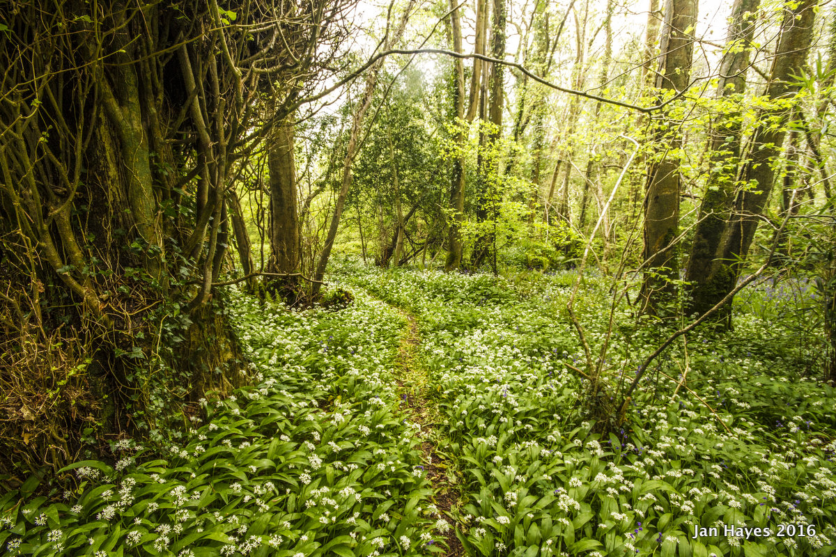
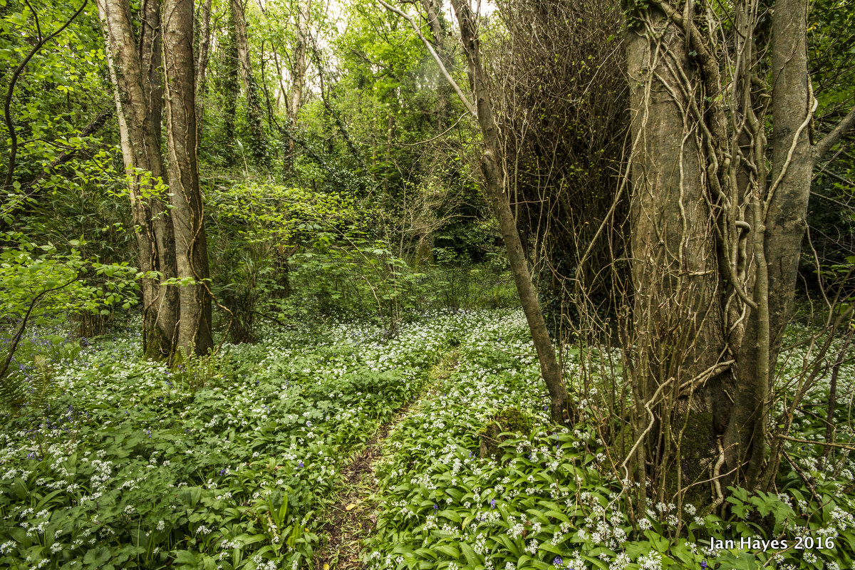
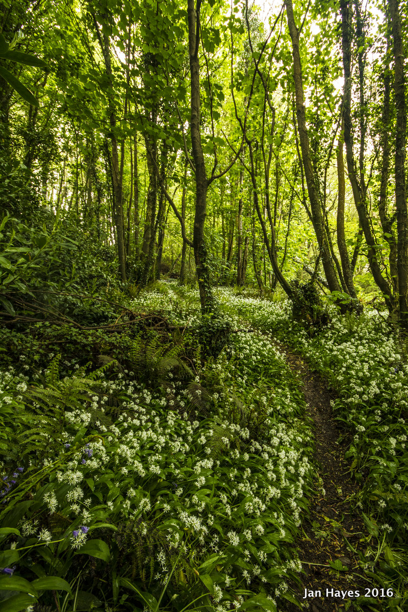
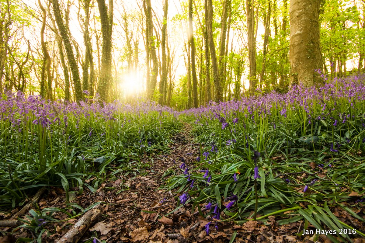
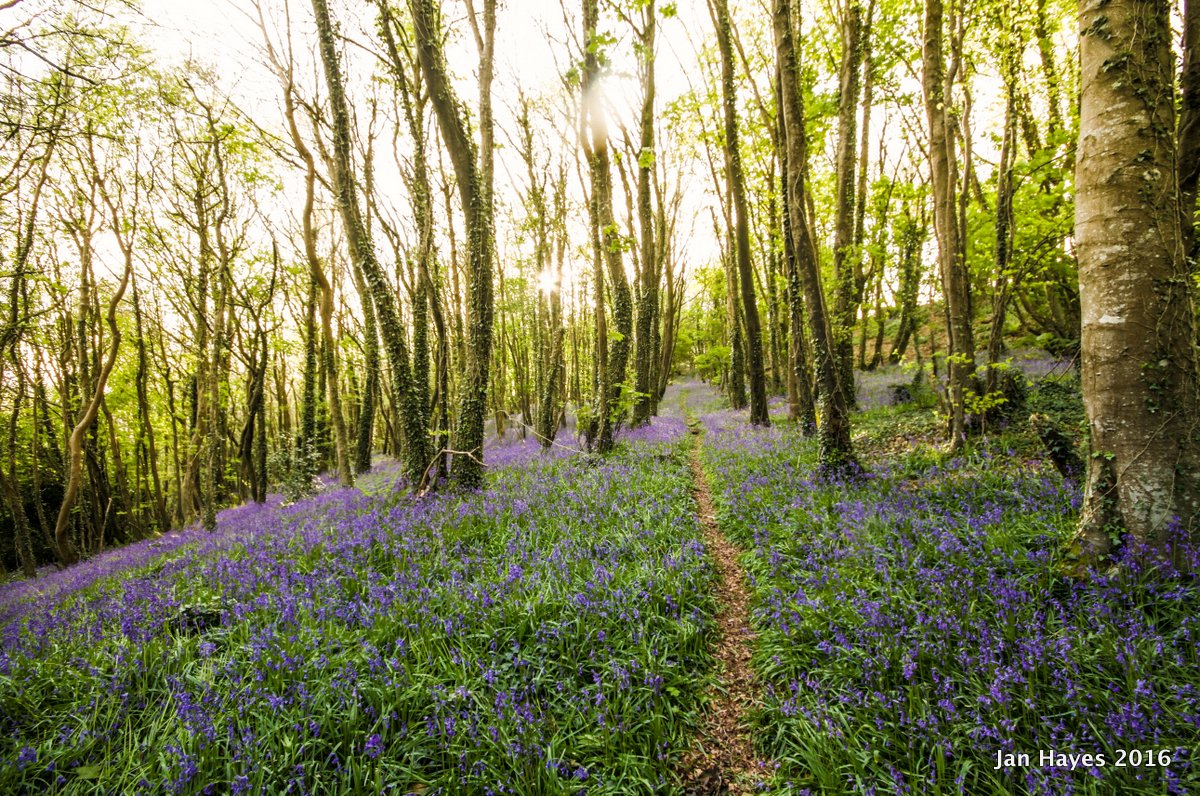
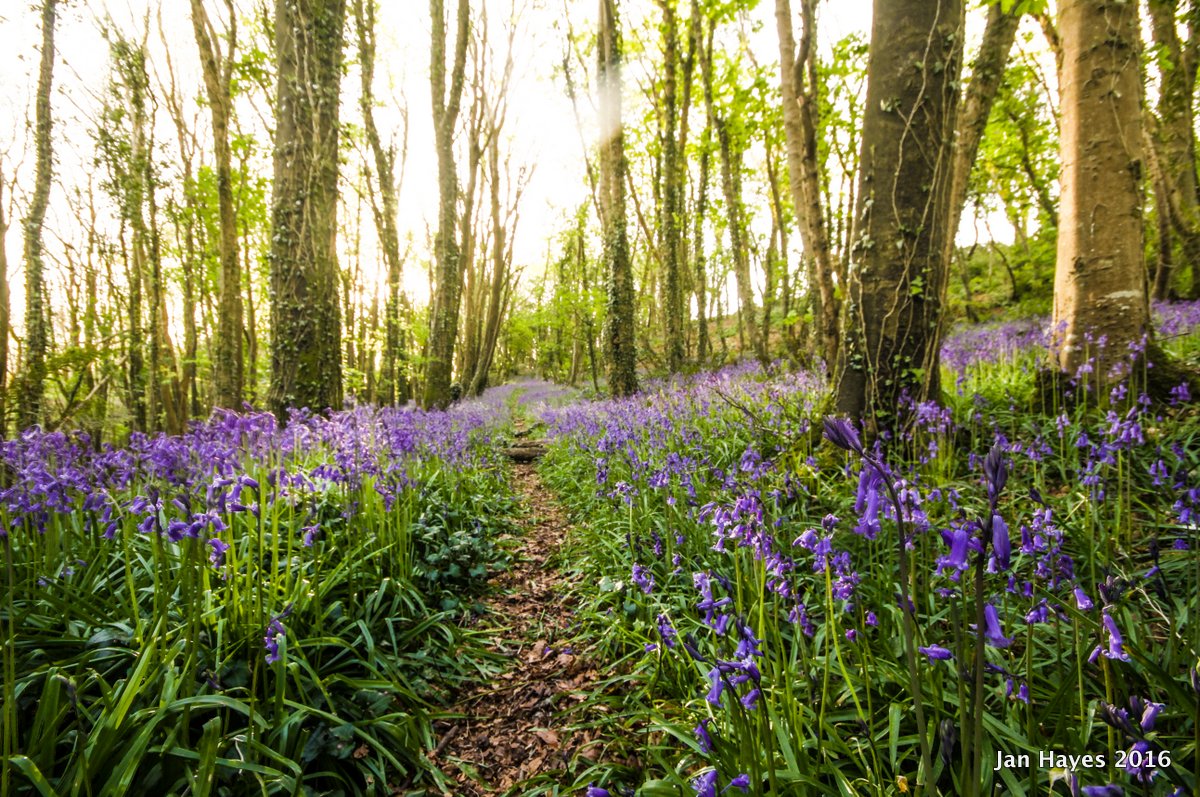
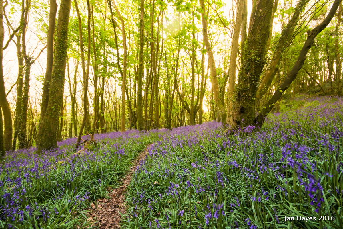
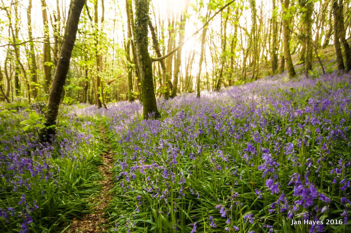
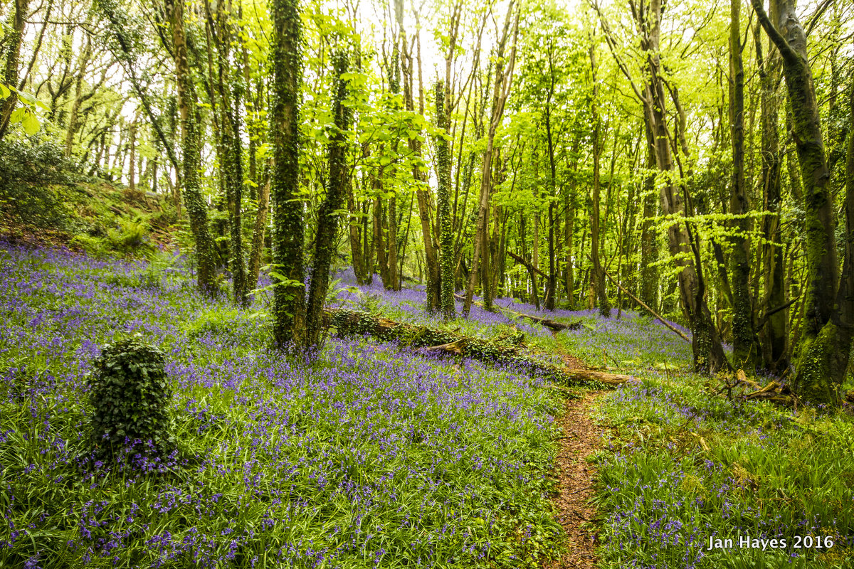
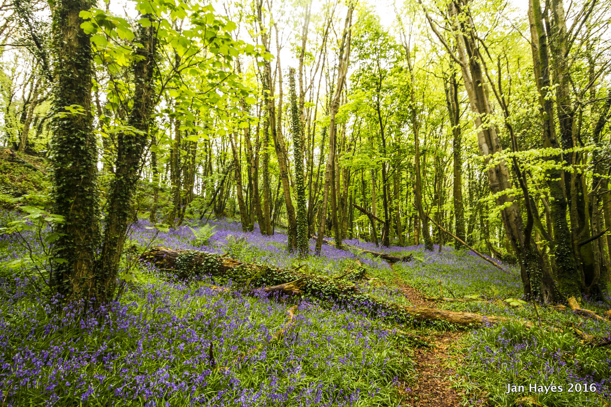
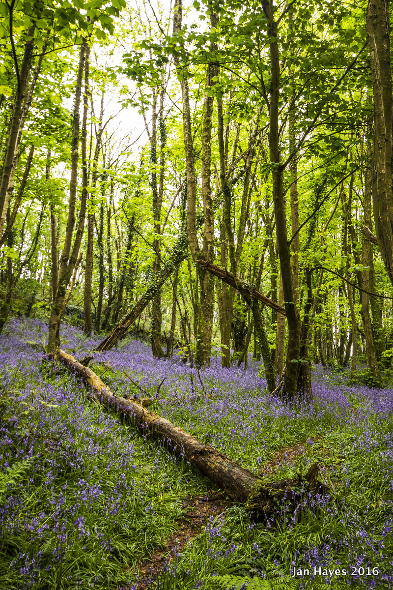
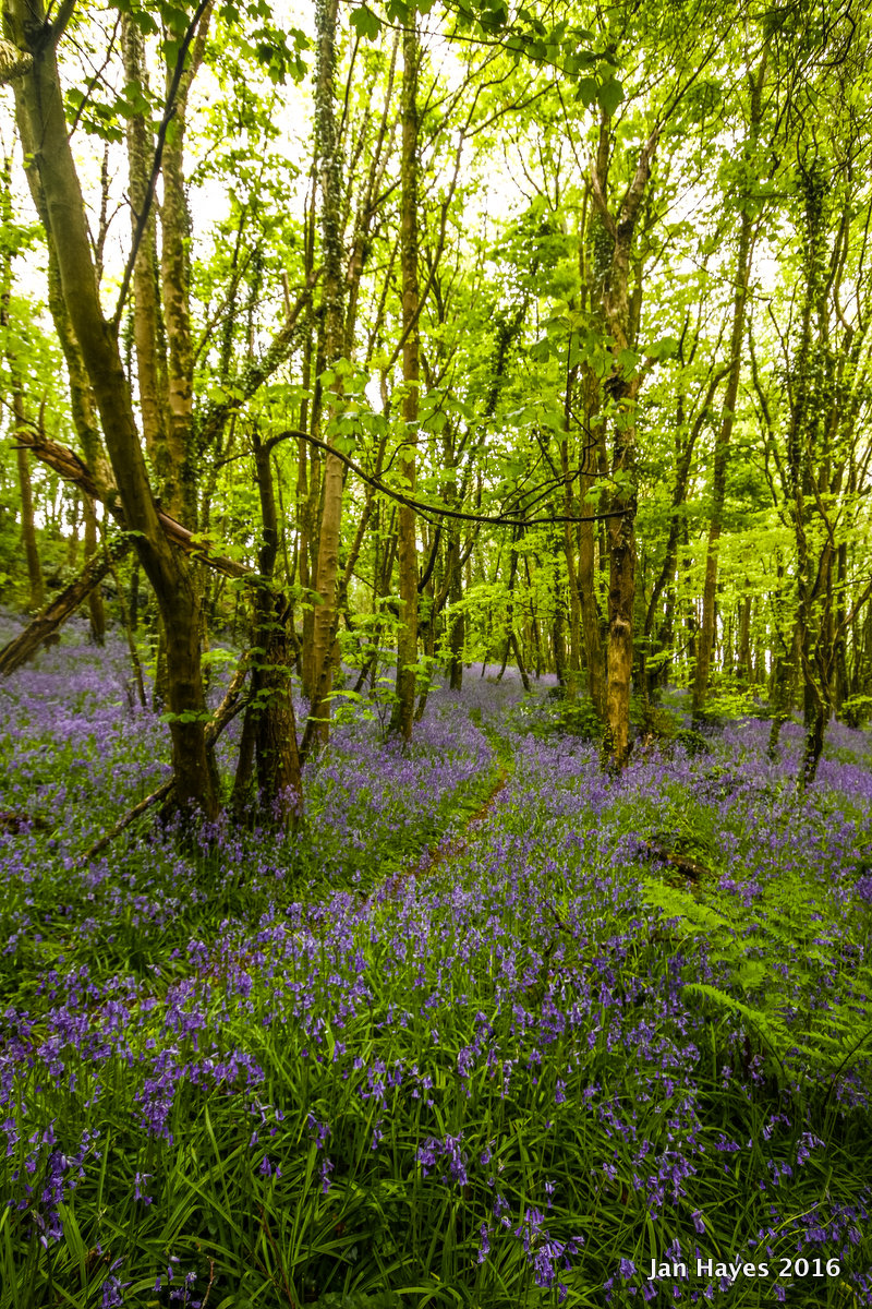
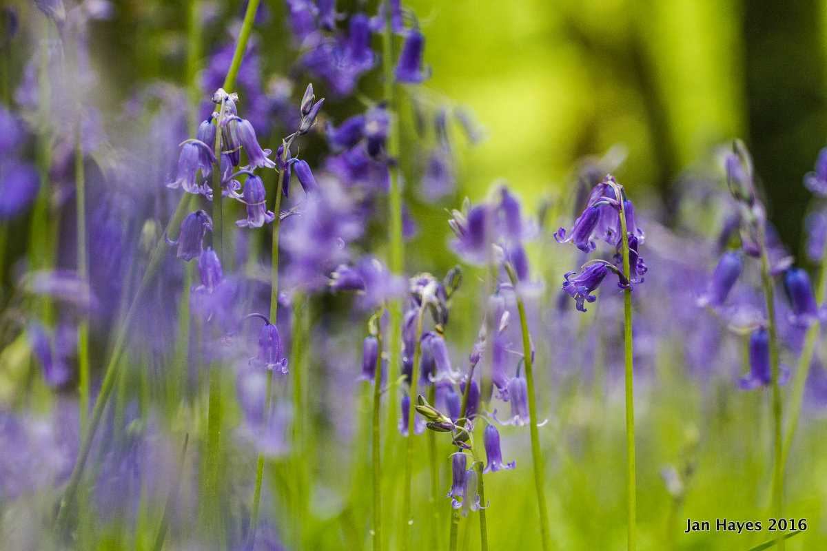
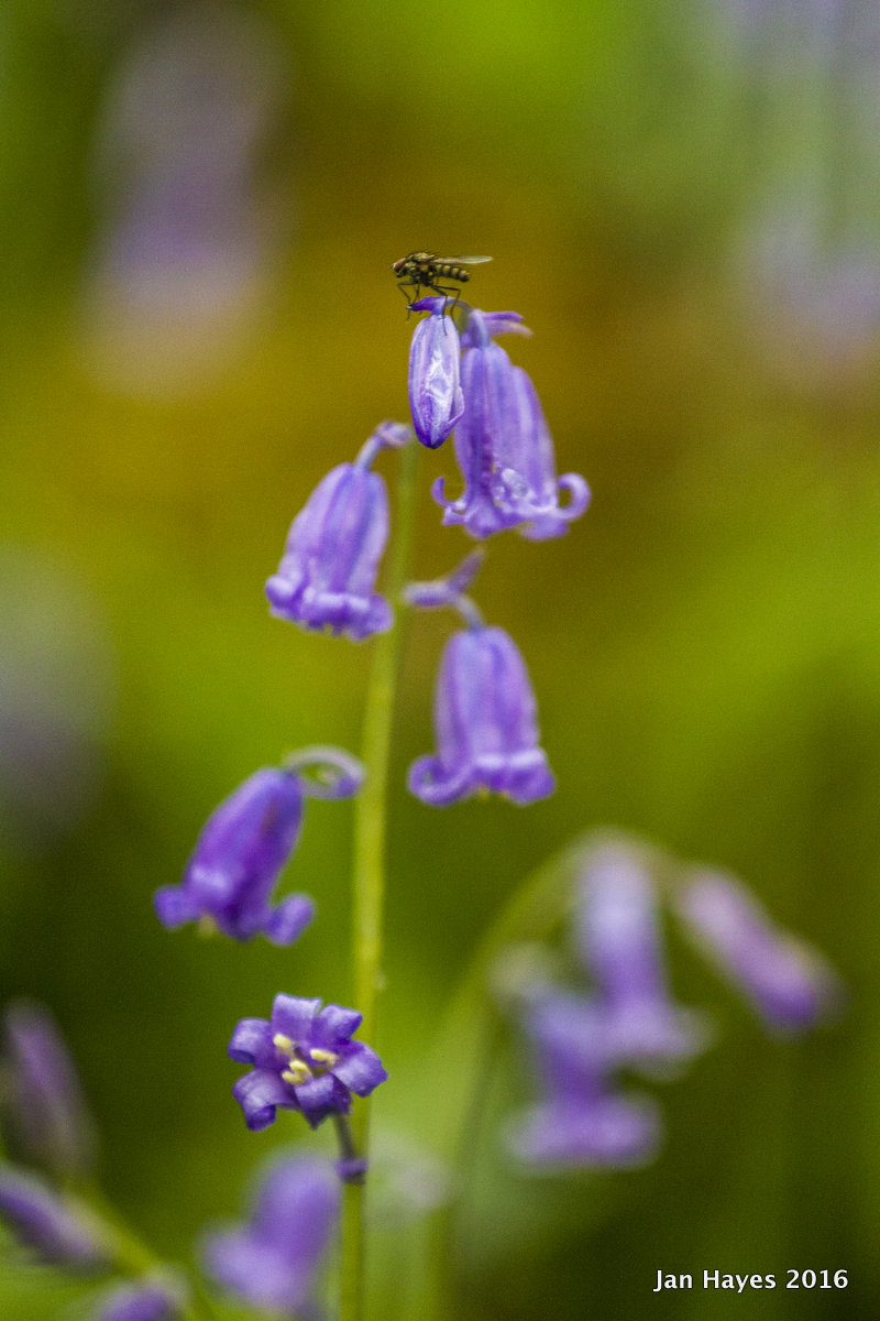
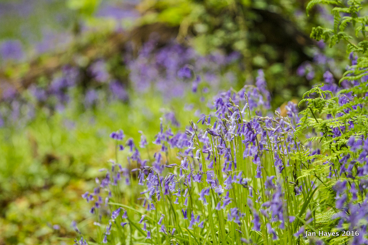
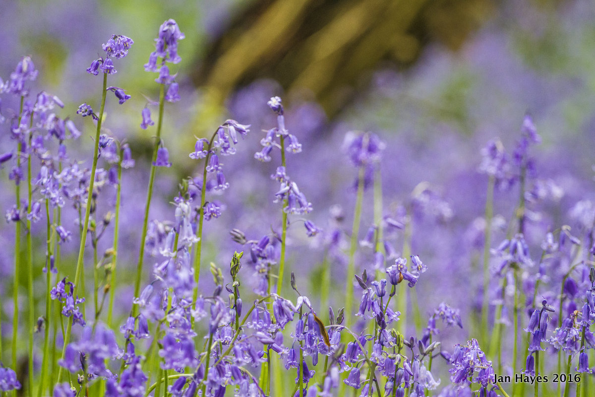
To contrast with the western half of the woods, the eastern part featured large patches of wild garlic and bluebells thriving on the forest floor, in some areas I would find myself to be surrounded by them. Mid Spring is the best time to see these before they get choked from any sunlight by the canopy. But as far as which side of the woods impressed me the most, it was easily this one.


